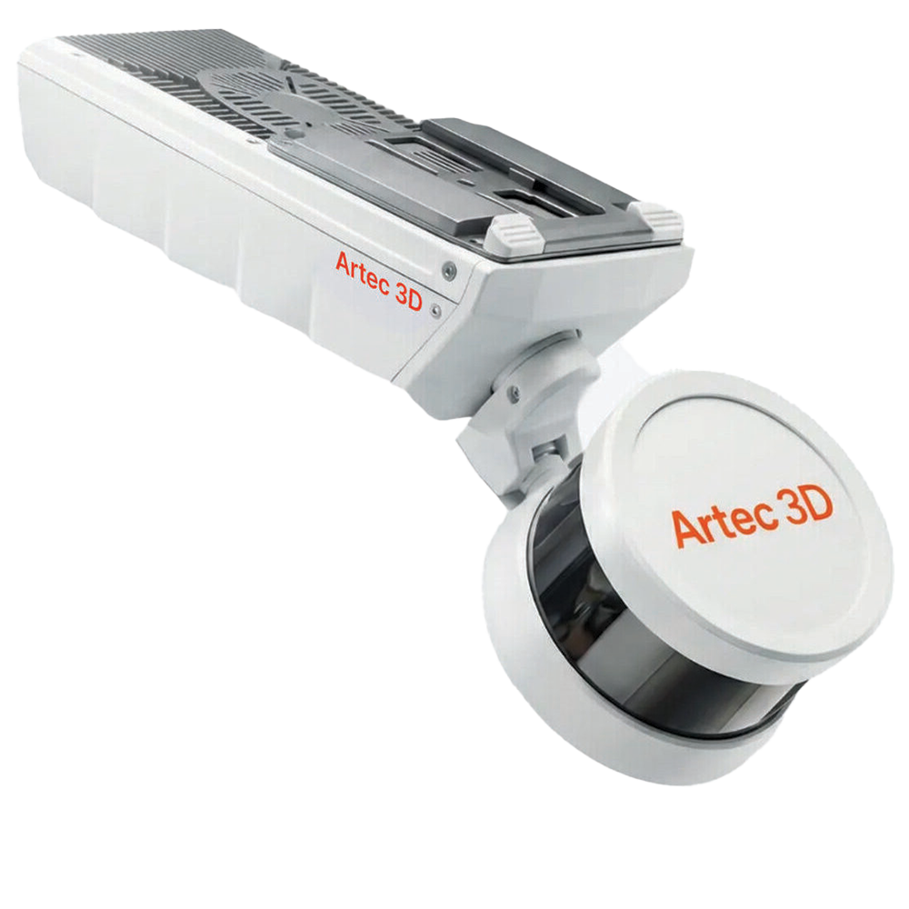
Description
The Artec Jet is a next-generation mobile LiDAR mapping system built for capturing large-scale environments quickly, accurately, and efficiently. Combining high-density LiDAR sensors with advanced SLAM (Simultaneous Localisation and Mapping) algorithms, the Artec Jet enables users to create accurate digital twins and detailed 3D maps in environments where traditional scanning workflows are slow, impractical, or impossible.
Designed specifically for infrastructure, construction, utilities, mining, and industrial reality capture, the system excels in both open environments and GPS-denied spaces such as tunnels, plants, underground assets, and indoor facilities. Unlike static terrestrial scanners that require multiple setups and registration workflows, Artec Jet captures large environments dynamically while continuously calculating its position in real time using SLAM technology.
The result is dramatically faster site capture, reduced field time, and efficient generation of high-quality point cloud data suitable for digital twin creation, as-built documentation, inspection, and asset management workflows.
Key Benefits
Fast Mobile LiDAR Mapping
Artec Jet enables rapid site-scale data capture without the need for static tripod setups or complex positioning workflows. Users can scan large environments significantly faster than with traditional terrestrial scanning methods.
Advanced SLAM Technology
Using industry-leading SLAM algorithms, the system continuously tracks its position while scanning, enabling accurate mapping in GPS-denied, underground, or low-visibility environments.
Built for Infrastructure & Reality Capture
From construction sites and industrial plants to tunnels and utilities, Artec Jet is designed for large-scale infrastructure workflows where speed, mobility, and reliability are critical.
Capture Data in Challenging Environments
The system operates effectively indoors, outdoors, underground, and even in complete darkness – making it ideal for environments where conventional surveying equipment struggles.
Ideal For
- Infrastructure & Civil Engineering
- Construction & BIM Workflows
- Mining & Underground Mapping
- Utilities & Industrial Facilities
- Digital Twin & Reality Capture Projects
Technical Specifications
| Feature |
Specification |
| Technology |
SLAM-based LiDAR mapping |
| Workflow |
Mobile reality capture |
| Accuracy |
Up to 10 mm indoors & underground |
| Environment |
Indoor, outdoor & GPS-denied |
| Deployment Modes |
Handheld, drone, backpack, vehicle |
| Use Cases |
Infrastructure & site-scale mapping |
What Makes Artec Jet Different?
- Mobile SLAM-based LiDAR scanning
- Designed for infrastructure-scale environments
- Operates in GPS-denied conditions
- Faster than traditional static scanning workflows
- Supports autonomous and multi-platform deployment
Applications
Infrastructure & Construction
Quickly capture construction sites, bridges, facilities and infrastructure assets for BIM, documentation, and progress tracking.
Mining & Underground Mapping
Scan tunnels, mines, and underground environments where GPS and traditional surveying systems cannot operate effectively.
Industrial Facilities & Utilities
Create accurate digital twins of plants, utilities, and industrial environments for maintenance, inspection, and asset management
Reality Capture & Digital Twins
Generate detailed point cloud data for large-scale digital twin and reality capture workflows.
Software Included
The Artec Jet integrates with Artec Twins, providing tools for:
- Large-scale point cloud processing
- Digital-twin creation
- SLAM trajectory management
- Infrastructure data visualisation
- Site-scale reality capture workflows
Why Choose the Artec Jet?
Large-scale reality capture projects demand more than accuracy alone. They require speed, mobility, and the ability to scan in environments where traditional workflows break down. The Artec jet is designed specifically for these challenges.
Replace Slow Static Scanning Workflows
Traditional terrestrial laser scanning often requires repeated tripod setups, manual registration, and lengthy site time. Artec Jet dramatically simplifies this process with mobile SLAM-based capture that continuously maps environments while moving.
Built for Real-World Infrastructure Projects
Whether scanning construction sites, industrial facilities, tunnels, or underground assets, Artec Jet is designed to operate reliably in demanding field conditions.
Survey-Grade Data, Faster
The system combines high-density LiDAR sensors with advanced SLAM positioning to produce accurate point cloud data suitable for professional surveying, BIM, and digital twin workflows.
Flexible Deployment Options
Artec Jet supports multiple deployment modes including handheld, backpack, vehicle, and drone-based workflows, giving teams the flexibility to capture data across a wide range of environments.
Ready to Accelerate Your Reality Capture Workflow?


Reviews
There are no reviews yet.